A day switching between long distance paths in warm but wet weather.
Returning to the E2 from the hotel, I again walked by a slow moving river of cars, headlights on in the dull morning light. Whereas last night they were returning home, this morning it was back to work. It seemed like an unending treadmill but I do not recall being too upset during my working life, with the challenges, comradeship and the sense of meaning it brought. Back on the E2 I walked through the lesser visited parts Hollingworth. Not the prettiest part of my journey, but I was soon following tracks through the countryside again. From Hollingworth I was on the Tameside Way and the Etherow-Goyt Way, both follow the same route and guide the E2 for a while. They led to the village of Broadbottom (a name schoolchildren may have sniggered at, which reminded me of a school on my route where the headmistress was Miss Tickle). As I left the village I was pleased to find a tea room at a Garden Centre, such places being home to many of the cafes in Britain. After I left refreshed, the path led me through a "Heritage Site" where there were the foundations of a gasometer, the pits of an abandoned dye works and other remains of the cotton industry which once thrived here. The whole area was once a centre of the Industrial Revolution, but textile manufacturing has now moved to China or Bangladesh and I wondered what kind of work the inhabitants did now.
I noticed that I was also following a stretch of the Trans Pennine Trail. This is part of the E8, another European Long Distance Path going from Ireland to Turkey, indeed someone had written "E8" in black letters on a footpath post. I was also periodically on two other long distance paths, the Pennine Bridleway and the GM (or Greater Manchester) Ringway. Roundels for the later had a QR code which looked very modern. However I wondered if in 20 years time it would look out of date, and we would pick up directions from RFID codes attached to the roundels which would access the Internet and display directions on our smart glasses....or via our brain implants.
 |
| Multiple Waymarks. |
Shortly after the E8 marked post I left the Tameside Way in a wood, or rather I should have left it but I missed the turning and was forced to retrace my steps. A new wooden fingerpost had been installed, but not the "roundels" indicating which direction each of the many "Ways" went. The correct route took me up a sunken path or "holloway", overhung with holly. On a higher track an elderly lady was retrieving some rubbish from the hedgerow, her husband looking on leaning on his walking stick. I stopped to thank her for her efforts, we agreed the remains of a plastic sack was better in landfill rather than on the trackside, although it would be better if it were not produced at all.
 |
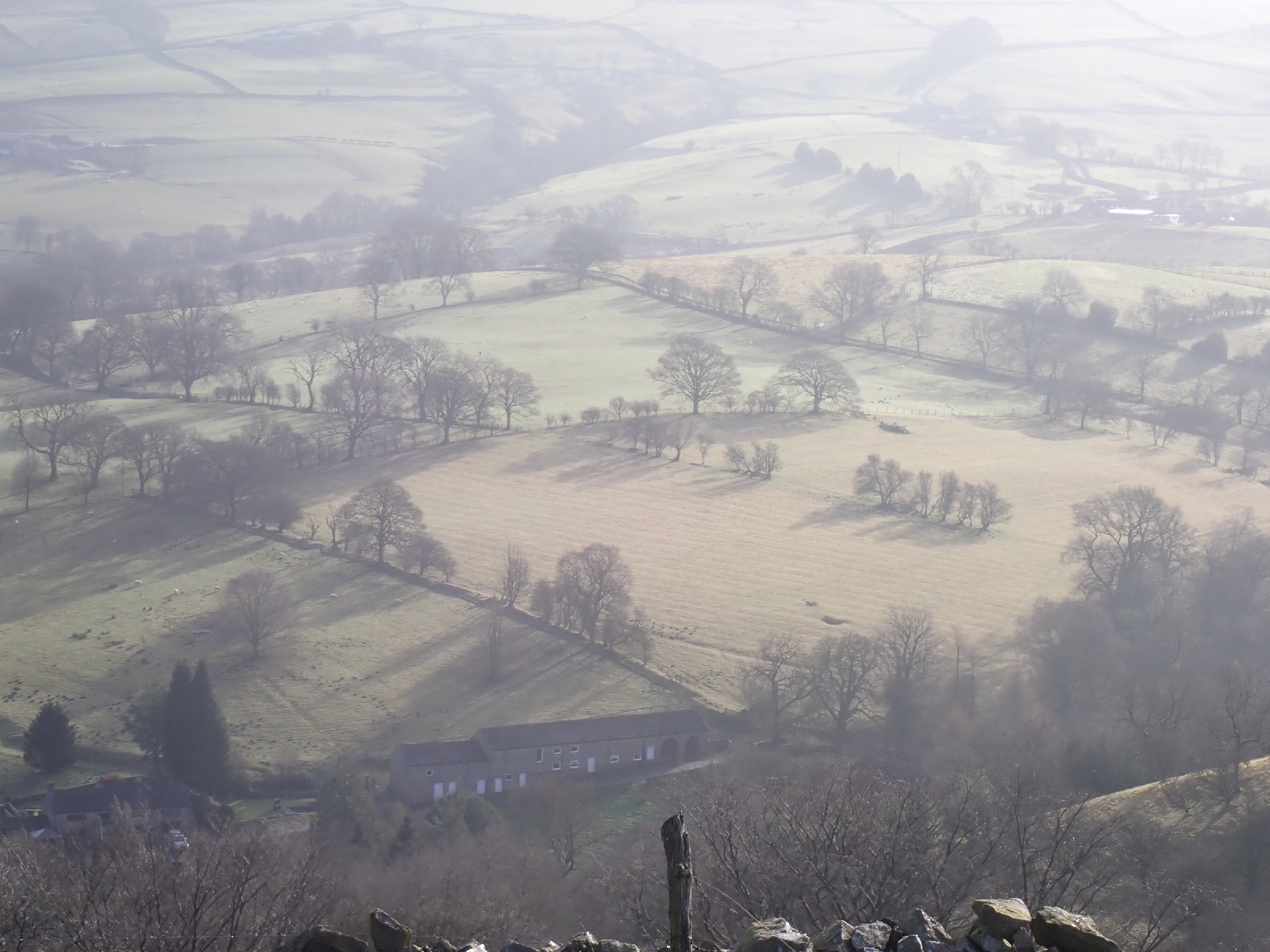
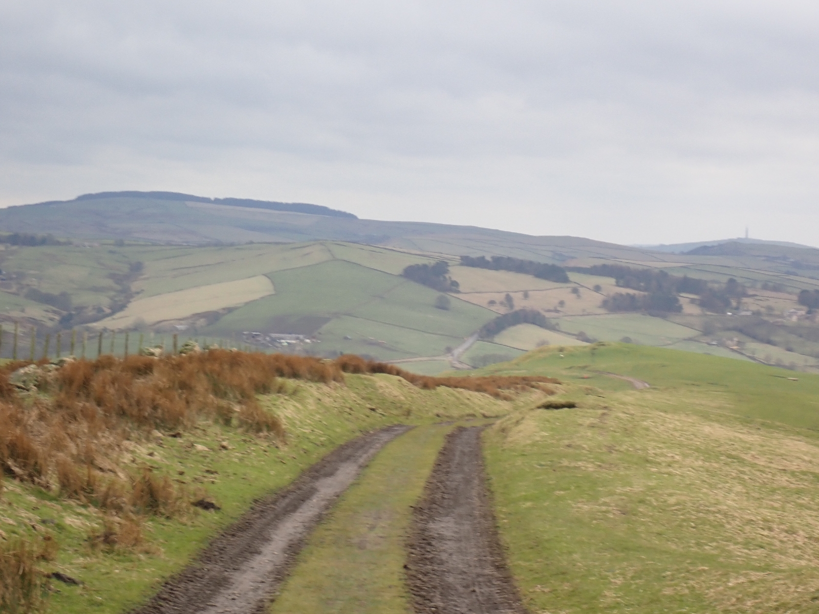
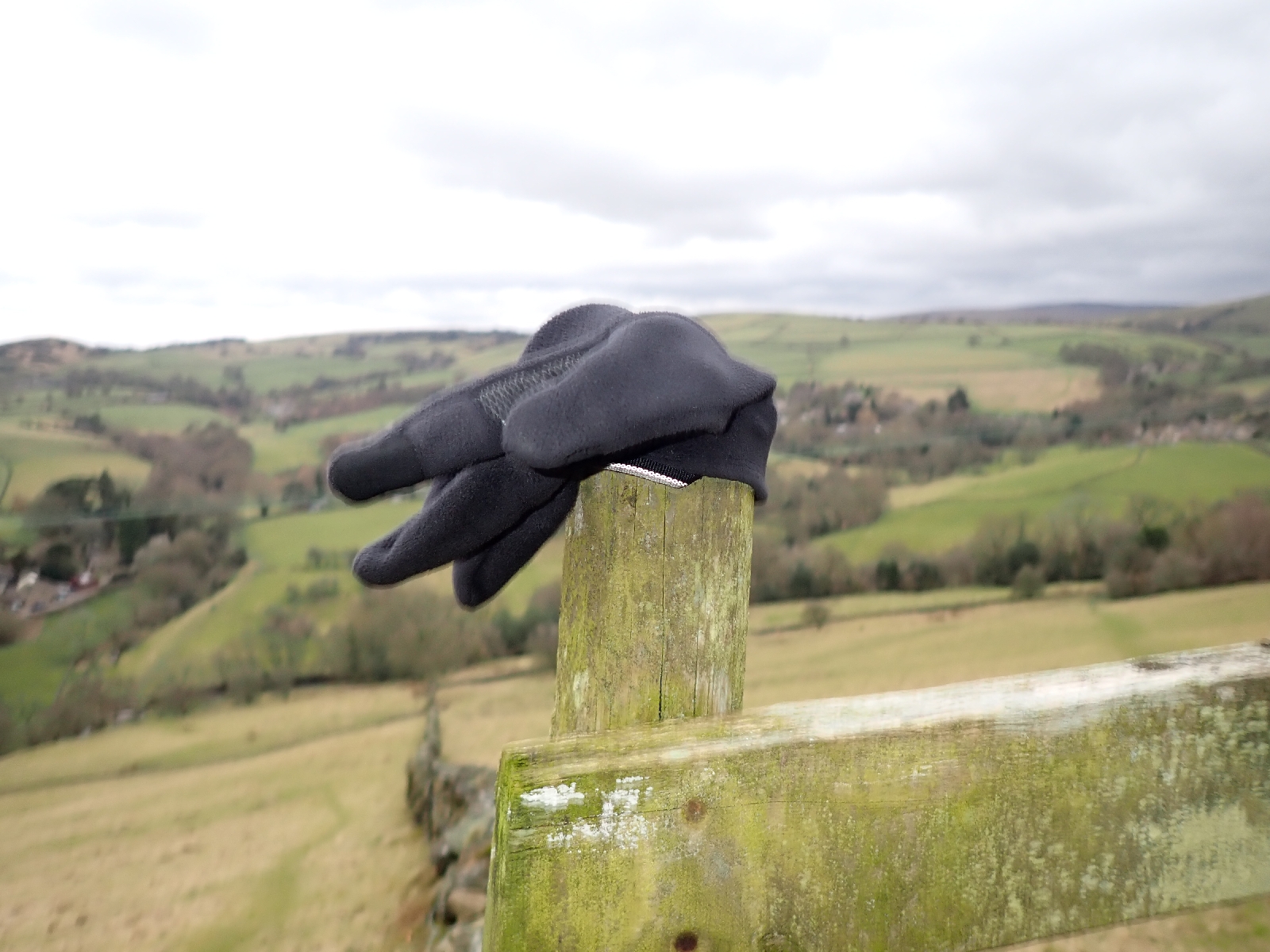
| Typical view. |
The path led me across a field to a patch of woodland, but my way was stopped by a plank of wood across a stile with "path closed" spray painted on it in orange. It did not look like an official closure and I wondered whether to just climb over. However it was possible that the path had been washed away or there was a landslide, so instead of investigating I took another route via a road to reach Etherow Country Park at the bottom of the valley. A lake seemed to be the centre piece of the park, populated by hungry geese and swans wanting to be feed by children and their parents. Beside the lake was a café where I bought some lunch among elderly couples looking after grandchildren during the school's half term holidays. The young staff did not seem very attuned to the needs of their older clientele, the lady ahead of me dropped her backpack as she struggled to extract her purse to pay for a cappuccino. I picked it up and indicated to the assistant holding a card machine that the lady was offering a five pound note. We then waited for our coffees while the many staff chatted to each other. The village of Compstall beside the Country Park included industrial buildings left to decay, broken windows, graffiti and the like. I was amused by a sign on an entrance gate topped by razor wire that stated "No Parking" as "24 hour access" was required. As there were large concrete blocks preventing access at anytime at all the sign was ignored.
 |
| Etherow Country Park. |
Across the road from Compstall I entered Brabyns Park, an expanse of grass and trees beside a river. After earlier showers, heavy rain now began to fall (as forecast) but this did not stop a fly fisherman, up to his waist in the river trying to lure a fish. Despite the rain it was warm, snowdrops bloomed today beside paths and roads, a sign that winter was moving on.
 |
| Snowdrops. |
I was now on the Goyt Way having lost the Etherow part at Compstall. It took a tour of the park before joining the Peak Forest Canal. Her I admit to a navigation issue. I had assumed the canal would be at the bottom of the valley but it was actually at the top! I joined it part way through a flight of an incredible 16 locks, the "Marple locks". A railway line passed beneath the flight, a waterway over a railway is something I find just wrong. Part way up there was a group of people in high visibility jackets, one was poking around beneath a bridge. On asking one of the hivis guys standing around what they were doing, his more helpful female "coworker" said they were conducting an inspection. In the basin above the next lock the water had been partially drawn down. I was surprised there was not more rubbish on the canal bed, one usually expects at least a shopping trolley. At the top of the flight there were a good selection of narrow boats, a few with smoke emanating from the stove chimneys. One boat surprised me with a "hello" as I peered at its opaque windows. Leaving the canal I took a small road (marked on a noticeboard as part of the Pan-European E2) into the village of Disley and my lodging for the night. Another town of stone built buildings from an earlier age.
 |
| Marple Locks on the Peak Forest Canal. |