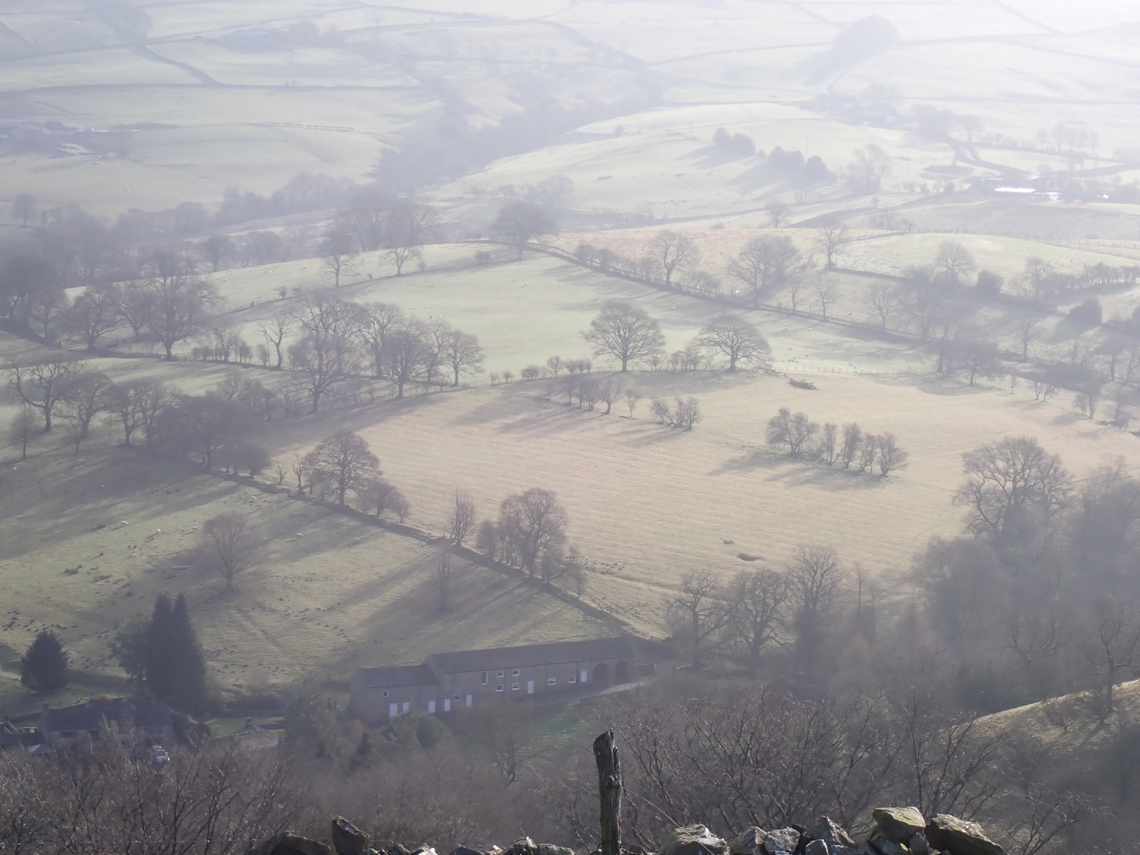
As I had over 20 miles to walk today, and as my progress has been slower than usual on this trip, I started early, walking through the streets of Macclesfield among early morning joggers at 7 am. 3.5 kilometres later and I was back on the Gritstone Trail. I knew I had to climb three hills before a valley section. The second summit was the highest and most impressive as it had a concrete tower on top with multiple aerials and transmitters, this was the Sutton Common BT Tower built to survive a nuclear war. In continental Europe it would have been painted red and white but this one was a dull, concrete grey. Visibility was poor in the weak sunlight, but on the plain below I could make out fields, trees, buildings, a railway viaduct and the Jodrell Bank Radio Telescope. The later was a large white disc in the distance and apparently a UNESCO World Heritage Site. With all the radio interference from the populated Cheshire plain I rather doubted it still performed world leading research. The tower beside me must have contributed to the interference.

After the three hills the path dropped into a muddy valley, greatly slowing my progress. My effort was wasted as each step into the brown mush squeezed mud out sideways and left boot shaped holes behind me. Having to place my feet carefully on slippery slopes delayed me. Would a younger, more agile person have moved faster I wondered, with quicker reactions if they started to slip, more confidence in their movements or maybe with less consequences if they fell? I was pleased when the Gritstone Trail took me onto what might have been a towpath beside an old canal. The canal or feeder channel had long been abandoned and was filled with vegetation, decaying leaves, fallen trees and areas of stagnant water. Leafless branches stretched across the water, catkins hanging down. At least the path beside it was flat. Unfortunately it was also excessively muddy in places.
Leaving the waterway the Gritstone Trail took me across a road to an abandoned railway where I switched to the Staffordshire Way along the former Churnet Valley Line. My paced picked up as the ballast on the former railbed was firm and flat letting me stride ahead. At the top of Rudyard Lake the Staffordshire Way moved onto roads and good tracks on the south side of this large expanse of water. Many signs made it clear that the landowner was not too pleased with having a "right of way" across his land. I had to explain to a couple that despite the no entry sign across a private road, it was a public footpath, and they were allowed to follow it. The route went by an old stone building that looked like a lodge for an important estate. All the windows were now boarded up except a few with broken glass on the first floor. An interesting renovation project if the landowner cared to sell. Near the end of the lake was a sailing club with an open coffee shop where I enjoyed a latte and a slice of Tamworth Fruit Cake on the balcony, among the many dogs out for a Saturday walk. Rudyard Lake was actually an 18th century reservoir used to supply water for the Caldon Canal. I followed the path beside the feeder channel from the reservoir to the edge of Leek, where I turned off to find the accommodation I had booked.


No comments:
Post a Comment