Monday, February 24, 2025

E2: Alton to Abbots Bromley

A long day walking over the Staffordshire countryside.

After a steep and muddy descent around a fallen tree I reached a good path through woodland, on which I passed numerous morning dog walkers. Alton was a little further from my accommodation than I imagined and there were a few more hills than I expected. The village is famous for the Alton Towers Theme Park. I presume it was the towers of the main building that I could see from a viewpoint, an outcrop of red sandstone, a little before the village. As a child I had visited once, I did not remember so many hills!

A view of Alton Towers.

The remainder of the day was over farmland, grass fields, soft and squidgy with all the rain, and gentle hills. Sometimes I was on barely visible paths over the fields, other times on farm tracks, often muddy. A kissing gate on the path was held firmly closed with a combination lock which annoyed me, as the landowner was breaking the law obstructing a public footpath. It did not stop me climbing over it but not so easy for less able people or those with dogs. A track between hedges had been improved by laying down a line of stone flags which I much appreciated as it helped avoid the mud or brambles.

Pussy Willows.

I had a few milestones today to break up my journey, the first was Rocester. The small town was dominated by JCB, the manufacturer of the eponymous, yellow, earth moving equipment. Rocester is their World Headquarters and there is a JCB Academy in an old mill built by Arkwright, the 18th century inventor who help industrialise textile manufacture. I stopped at a café for a coffee and cake. While her dog stepped in its water bowl one of the customers proudly told me the King was visiting the JCB factory today, apparently it was their 80th anniversary. King Charles helped change a tyre there according to the BBC.

From Rocester it was over fields to Uttoxeter following the valley of the River Dove. Close to the town I had to cross a busy, fenced dual carriageway. My GPS suggested the route went under a bridge by a river, however I could not see way through and wondered if the path was flooded as the river level was high. I spent a long time finding a way around, climbing over gates at a farmyard, then crossing the dual carriageway at a roundabout. Keen to find out where I had gone wrong I approached the river bridge from the Uttoxeter side. It was then I realised there was another arch with a safe passage through. I missed the turn to reach it as it involved heading in the "wrong" direction for a short while.
Although now behind schedule I had promised myself a sandwich for lunch in Uttoxeter, so stopped at a handy Starbucks beside a series of charging points for electric cars. Seemed to me a good business plan, offering coffee while your car is charging, although the two other customers seemed to be using the coffee shop to work on their laptops. On my next section over fields to Abbots Bromley I fell in step with a local man for a few hundred yards. We exchanged a few words. He had been a mining engineer in the coal industry before specialising in the demolition of oil refineries and similar.

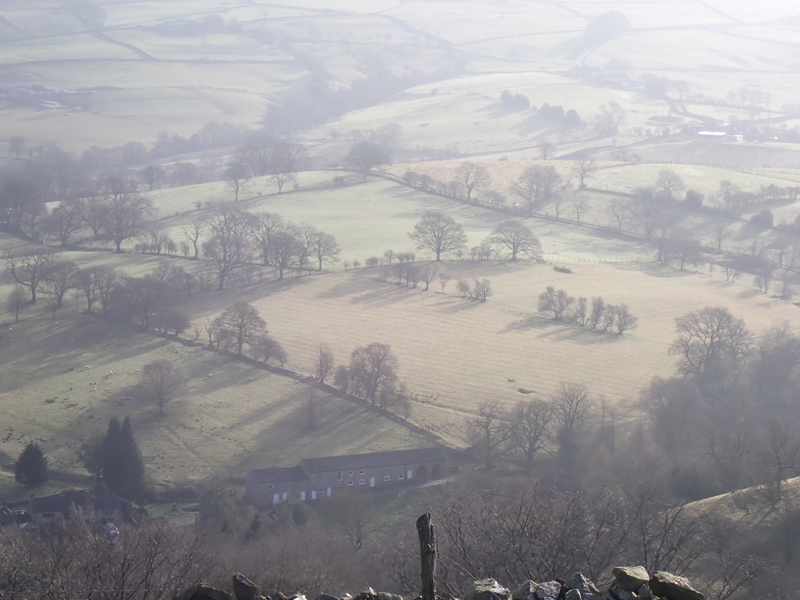
Late afternoon on the way to Abbots Bromley.

Dusk had fallen by the time I had reached Abbots Bromley and my Bed & Breakfast. Despite removing my boots I still left mud stains on the carpet from my trousers which I tried ineffectually to clean up. I was glad to arrive, my left knee was complaining, my blister was bloody and I was tired. No one in the village is serving food tonight, however the helpful staff of the Crown Pub provided details of a place that did deliveries. So I ordered burger, chips and a brownie to be delivered to me in the pub. I must confess I was surprised when it arrived!

Sunday, February 23, 2025

E2: Leak to Alton

A muddy day with some good canal sections and a pub for lunch.

Yesterday afternoon I began to experience a little pain from my ankle rubbing against my boot. Nothing that caused me to stop, however on arriving at my lodging I found a burst blister. In the shower it was exceedingly painful when contacted by water. This morning I protected it with a dressing. I was particularly stiff on getting up, having difficulty on the stairs. The exercises my body reluctantly performed loosened me up a little. On a longer trip I might have taken a rest day at this point, but I only had 2 1/2 days walking left so it was not worthwhile.

As there is no food available at my accommodation tonight and nothing else is near, this morning I needed to buy something to eat this evening. Being Sunday I had to wait until 10 am for the shops to open. I passed the time pleasantly in a coffee shop by the market square of Leek. The day's hike began with a walk over hillside through the Ladderedge Country Park. After that there was a long section on the towpath of the Caldon Canal, flat easy walking. A few narrow boats were moored, one or two with wood smoke drifting from their stove pipes showing they were occupied by invisible people inside. I passed old, red brick mill buildings and the remains of lime kilns, signs of the area's industrial activity in an earlier century. A few people were out, accompanied by their dogs for a Sunday stroll. Rain and strong winds were forecast, however in the sheltered valley there was little wind and the rain, although persistent, was mainly light.

Caldon Canal.

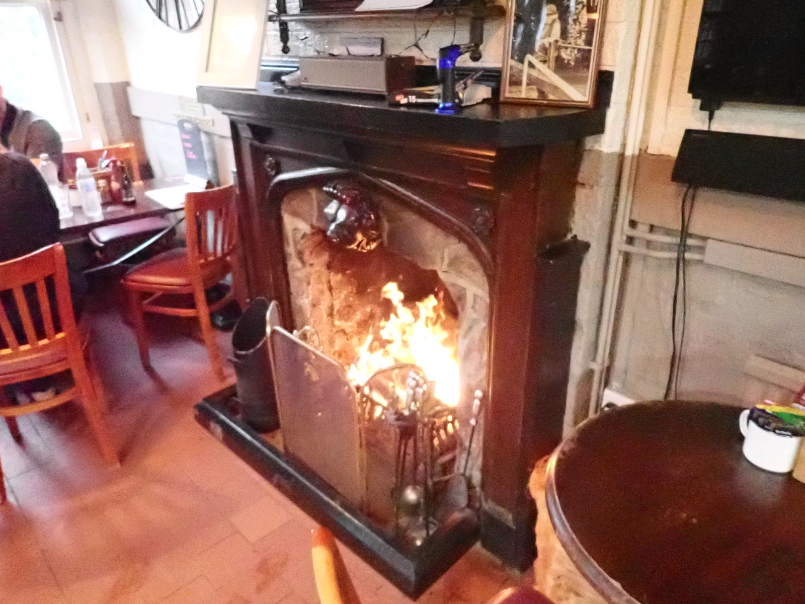
The lighted windows of the canal-side Red Lion Inn looked warm and inviting so I stopped for lunch, siting by a log fire. The pork and apple sauce bap I ordered was huge! With the rain outside I made my Coke last as long as possible. When I did leave I found "Footpath closed" signs on the towpath. There being no alternative route I just kept going and found no problem with the towpath. The canal ran parallel with an old railway line. Earlier a steam train had pulled several carriages down the line, and this afternoon it pulled them back again. A heritage line offering people a Sunday outing.

Welcome fire inside the Red Lion Pub.

Eventually, the path left the canal, climbing steeply up the side of the wooded valley. Once at the top it continued through fields, soft and muddy with the rain. As I crossed from one field to another I found myself ankle deep in a muddy slurry with the threat of sinking further if I did not find a way through a couple of strings of barbed wire. Having crawled under the wire I realised that the path actually went over a stile further down the field, largely hidden by the hedge and not strictly where the map showed it to be. 

There was a lot of mud!

I followed the Staffordshire Way back down into the valley of the meandering River Churnet. The canal had stopped at a wharf further upstream. After a few muddy sections the path climbed into woodland. When it subsequently descended I admired the rounded pebbles which formed its base as it made a passage through rhododendrons and tall pine trees. I speculated that the pebbles were produced by erosion of sandstones of the Permian period. I had been seeing red sandstone typical of this period of Geological time in road and track cuttings and used in buildings and bridges. 

I turned off the Staffordshire Way to reach the accommodation I had booked. This involved a climb up a side valley. The last part was the steepest. Steps had been made but a large tree had fallen across them bringing down another tree in the understorey. With difficulty I made my way around them following another person's footsteps which had made deep holes in the wet, black soil. On finally reaching the Inn, my boots were caked in a thick layer of mud. I left them by the door of the Inn with my trekking pole which was in a similarity encrusted state. I had been wearing my waterproof trousers and these were also filthy forcing me to wash them before I could put them down anywhere. On removing the dressing on my ankle to shower, I saw that it had been bleeding. The shower was in some way compromised, the knob pointing at the wrong things and I had difficulty in obtaining more then luke warm water.

Saturday, February 22, 2025

E2: Macclesfield to Leek

The first sunny day of the trip. I climbed hills, followed old waterways and railways and visited a reservoir.

As I had over 20 miles to walk today, and as my progress has been slower than usual on this trip, I started early, walking through the streets of Macclesfield among early morning joggers at 7 am. 3.5 kilometres later and I was back on the Gritstone Trail. I knew I had to climb three hills before a valley section. The second summit was the highest and most impressive as it had a concrete tower on top with multiple aerials and transmitters, this was the Sutton Common BT Tower built to survive a nuclear war. In continental Europe it would have been painted red and white but this one was a dull, concrete grey. Visibility was poor in the weak sunlight, but on the plain below I could make out fields, trees, buildings, a railway viaduct and the Jodrell Bank Radio Telescope. The later was a large white disc in the distance and apparently a UNESCO World Heritage Site. With all the radio interference from the populated Cheshire plain I rather doubted it still performed world leading research. The tower beside me must have contributed to the interference. 

Looking back down the ridge.

Winter view from the ridge.

After the three hills the path dropped into a muddy valley, greatly slowing my progress. My effort was wasted as each step into the brown mush squeezed mud out sideways and left boot shaped holes behind me. Having to place my feet carefully on slippery slopes delayed me. Would a younger, more agile person have moved faster I wondered, with quicker reactions if they started to slip, more confidence in their movements or maybe with less consequences if they fell? I was pleased when the Gritstone Trail took me onto what might have been a towpath beside an old canal. The canal or feeder channel had long been abandoned and was filled with vegetation, decaying leaves, fallen trees and areas of stagnant water. Leafless branches stretched across the water, catkins hanging down. At least the path beside it was flat. Unfortunately it was also excessively muddy in places.

Leaving the waterway the Gritstone Trail took me across a road to an abandoned railway where I switched to the Staffordshire Way along the former Churnet Valley Line. My paced picked up as the ballast on the former railbed was firm and flat letting me stride ahead. At the top of Rudyard Lake the Staffordshire Way moved onto roads and good tracks on the south side of this large expanse of water. Many signs made it clear that the landowner was not too pleased with having a "right of way" across his land. I had to explain to a couple that despite the no entry sign across a private road, it was a public footpath, and they were allowed to follow it. The route went by an old stone building that looked like a lodge for an important estate. All the windows were now boarded up except a few with broken glass on the first floor. An interesting renovation project if the landowner cared to sell. Near the end of the lake was a sailing club with an open coffee shop where I enjoyed a latte and a slice of Tamworth Fruit Cake on the balcony, among the many dogs out for a Saturday walk. Rudyard Lake was actually an 18th century reservoir used to supply water for the Caldon Canal. I followed the path beside the feeder channel from the reservoir to the edge of Leek, where I turned off to find the accommodation I had booked.

Rudyard Lake.

Feeder channel followed by the Staffordshire Way below Rudyard Lake.


Friday, February 21, 2025

E2: Disley to Macclesfield

A day pushing against a strong headwind, especially over hilltops.

After numerous trails yesterday, all of today's walk was on the well established Gritstone Trail, which started from the railway station at Disley. Full of an egg and sausage bap from a "bakery" I followed good tracks between walls and hedges to Lyme Park, a National Trust property. There was an extensive area of open grassland, with "keep out" signs stating it was a deer park. On a modest rise in the distance was the "Cage", a hunting lodge where the ladies watched the men hunting. The main building on the estate was a large stately home with bits from the 16th, 17th and 18th centuries. Being National Trust it had a café. As I arrived a few minutes before it opened I had a look at the 19th century Orangery, which had a few tropical looking plants such as a banana plant, as well as a fountain totally encrusted by moss.

The Cage.

After tea and a scone I continued across the landscape, farmland of fields for sheep and hay. There were several hills to climb today. At the top of one stood "White Nancy", a folly built in 1817 to commemorate the Battle of Waterloo, looking like a large white breast with a black nipple on top. Coincidentally it appeared on the local TV news this morning as it had been the goal of a sponsored climb to raise money for a teacher with Motor Neuron Disease.

White Nancy.

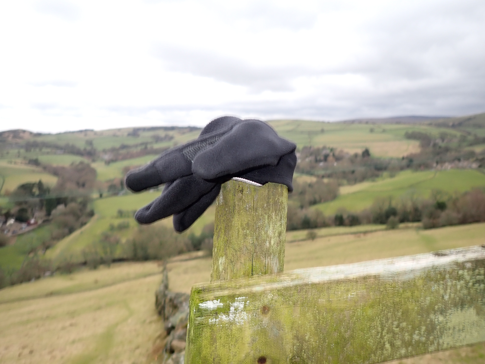
The weather forecast had predicted winds of 40 to 50 miles per hour and on the hill tops it was all of that. Coming from the south west it was generally in my face, sapping my strength as I tried to progress, or sometimes hitting me sideways trying to unbalance me. However it was not cold despite being wintertime, which may explain why odd gloves kept appearing, placed over the top of any post that happened to be near in the hope that the owner might return for it. I was feeling cross that I was tiring, as this was one of my shorter days, when I came across a café at Tegg's Nose Country Park. After debating whether to stop or carry on, I chose to stop for a coffee and a cookie. In retrospect a good decision as it gave me renewed energy. After the café I walked by an old quarry. Items of the old machinery to crush and cut rocks had been preserved with informative display boards.

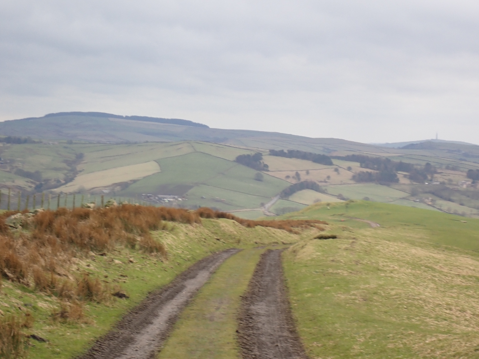
Typical scenery.


Lost glove.

As I knew I had a long day tomorrow I walked as far as the reservoirs by Langley on the south west side of Macclesfield before turning around and heading into the centre for the hotel I had booked. This will save a few hills in the morning. My first time in this northern town of red brick buildings and many pubs. I am currently in one of these, busy on a Friday night. A place where women as well as men seem comfortable meeting over a bottle of wine whereas some of the other bars, with sport showing constantly on large TV screens, look more men's places.

Mural in Macclesfield.


Thursday, February 20, 2025

E2: Hollingworth to Disley

A day switching between long distance paths in warm but wet weather.

Returning to the E2 from the hotel, I again walked by a slow moving river of cars, headlights on in the dull morning light. Whereas last night they were returning home, this morning it was back to work. It seemed like an unending treadmill but I do not recall being too upset during my working life, with the challenges, comradeship and the sense of meaning it brought. Back on the E2 I walked through the lesser visited parts Hollingworth. Not the prettiest part of my journey, but I was soon following tracks through the countryside again. From Hollingworth I was on the Tameside Way and the Etherow-Goyt Way, both follow the same route and guide the E2 for a while. They led to the village of Broadbottom (a name schoolchildren may have sniggered at, which reminded me of a school on my route where the headmistress was Miss Tickle). As I left the village I was pleased to find a tea room at a Garden Centre, such places being home to many of the cafes in Britain. After I left refreshed, the path led me through a "Heritage Site" where there were the foundations of a gasometer, the pits of an abandoned dye works and other remains of the cotton industry which once thrived here. The whole area was once a centre of the Industrial Revolution, but textile manufacturing has now moved to China or Bangladesh and I wondered what kind of work the inhabitants did now.

I noticed that I was also following a stretch of the Trans Pennine Trail. This is part of the E8, another European Long Distance Path going from Ireland to Turkey, indeed someone had written "E8" in black letters on a footpath post. I was also periodically on two other long distance paths, the Pennine Bridleway and the GM (or Greater Manchester) Ringway. Roundels for the later had a QR code which looked very modern. However I wondered if in 20 years time it would look out of date, and we would pick up directions from RFID codes attached to the roundels which would access the Internet and display directions on our smart glasses....or via our brain implants.

Multiple Waymarks.

Shortly after the E8 marked post I left the Tameside Way in a wood, or rather I should have left it but I missed the turning and was forced to retrace my steps. A new wooden fingerpost had been installed, but not the "roundels" indicating which direction each of the many  "Ways" went. The correct route took me up a sunken path or "holloway", overhung with holly. On a higher track an elderly lady was retrieving some rubbish from the hedgerow, her husband looking on leaning on his walking stick. I stopped to thank her for her efforts, we agreed the remains of a plastic sack was better in landfill rather than on the trackside, although it would be better if it were not produced at all.

Typical view.

The path led me across a field to a patch of woodland, but my way was stopped by a plank of wood across a stile with "path closed" spray painted on it in orange. It did not look like an official closure and I wondered whether to just climb over. However it was possible that the path had been washed away or there was a landslide, so instead of investigating I took another route via a road to reach Etherow Country Park at the bottom of the valley. A lake seemed to be the centre piece of the park, populated by hungry geese and swans wanting to be feed by children and their parents. Beside the lake was a café where I bought some lunch among elderly couples looking after grandchildren during the school's half term holidays. The young staff did not seem very attuned to the needs of their older clientele, the lady ahead of me dropped her backpack as she struggled to extract her purse to pay for a cappuccino. I picked it up and indicated to the assistant holding a card machine that the lady was offering a five pound note. We then waited for our coffees while the many staff chatted to each other. The village of Compstall beside the Country Park included industrial buildings left to decay, broken windows, graffiti and the like. I was amused by a sign on an entrance gate topped by razor wire that stated "No Parking" as "24 hour access" was required. As there were large concrete blocks preventing access at anytime at all the sign was ignored.

Etherow Country Park.

Across the road from Compstall I entered Brabyns Park, an expanse of grass and trees beside a river. After earlier showers, heavy rain now began to fall (as forecast) but this did not stop a fly fisherman, up to his waist in the river trying to lure a fish. Despite the rain it was warm, snowdrops bloomed today beside paths and roads, a sign that winter was moving on. 

Snowdrops.

I was now on the Goyt Way having lost the Etherow part at Compstall. It took a tour of the park before joining the Peak Forest Canal. Her I admit to a navigation issue. I had assumed the canal would be at the bottom of the valley but it was actually at the top! I joined it part way through a flight of an incredible 16 locks, the "Marple locks". A railway line passed beneath the flight, a waterway over a railway is something I find just wrong. Part way up there was a group of people in high visibility jackets, one was poking around beneath a bridge. On asking one of the hivis guys standing around what they were doing, his more helpful female "coworker" said they were conducting an inspection. In the basin above the next lock the water had been partially drawn down. I was surprised there was not more rubbish on the canal bed, one usually expects at least a shopping trolley. At the top of the flight there were a good selection of narrow boats, a few with smoke emanating from the stove chimneys. One boat surprised me with a "hello" as I peered at its opaque windows. Leaving the canal I took a small road (marked on a noticeboard as part of the Pan-European E2) into the village of Disley and my lodging for the night. Another town of stone built buildings from an earlier age.

Marple Locks on the Peak Forest Canal.


Tuesday, February 18, 2025

E2: Diggle to Hollingworth

A day looking down on towns in the valley, passing reservoirs and crossing moors.

I showed great willpower refusing a cooked breakfast, despite smashed avocado and poached eggs on toast being on the menu, instead I feasted on cereals, yoghurt and toast. The Old Bell Inn made an effort with food, last night I ate gin cured gravlax with pickled cucumber, followed by curried monkfish in dahl. Only the cheesecake for dessert (not the baked kind) with its rather rubbery topping let them down, but the edible (I hope) flowers were pretty.

I returned to the Oldham Way by a slightly different route, admiring houses built of gritstone. Even the modern houses have been faced with the stone. Initially the freshly worked stone is a mellow, yellowy ochre that blackens with time, so that most of the houses that line the valley look pretty black. Historically I imagine smoke from the many coal fires used to heat people's homes might have been responsible, however it is also said that algae entering the pores of the rock blacken it. As I climbed out of the valley I examined a freshly broken surface of the stone in a dry stone wall that looked recently repaired. Quartz and feldspar were the dominant minerals in this coarse grained sandstone, with specks of some black mineral. Orange staining indicated the presence of iron oxide and gave the stone its yellow hues.

Blackened stone buildings at Dobcross.

Having exhausted my investigation of the dry stone walls I plodded on. The weather had changed. Warmer than it had been, without the biting easterly wind, there were a few light showers. Over the morning I followed tracks along the hillside among fields above urban sprawl that flowed like rivers down the valley floors. On a promontory there was an obelisk dedicated to those who died in the First and Second World Wars. An outcrop of rock on which children were climbing formed an excellent viewpoint although today the visibility was poor, the views obscured by water laden air.

Obelisk to commemorate those who died in war.

Later I admired the Dove Stone reservoir at the base of the Chew Valley. Nearby I spotted people wearing bright yellow gilets spread across a nearby slope peering at the ground. Curious as to what they were doing, I enquired of a man standing nearby. He said they were part of a RSPB (Royal Society for Protection of Birds) effort to plant wild flowers. He gave me two small packets of wild flower seeds to scatter on the path-side, which I duly did. I felt confident they would not grow. Plants have their own means of distributing themselves and only thrive when they have found their ecological niche, the set of conditions most favourable to them. The path proceeded up the Chew Valley on its left hand side then about turned, and went down the other side in a lengthy "V". It was an area that my father-in-law was fond of. Somewhere among the irregular teeth of blackened gritstone on the skyline his ashes were scattered.

Wintery scene of muted colours: black trees, reddy brown reeds, dull green grass. 

The E2 switched from the Oldham Way to the Tameside Way, and after passing a cluster of houses climbed back into the moors for several kilometres visiting two more reservoirs.

Switching trails.

Reaching Hollingworth I departed from the E2 to walk a mile or so to my hotel in Hattersley, following a busy road, its hedgerows strewn with litter. It was rush hour, nose to tail cars heading home, headlights bright under a darkening sky. It made thankful to be retired but also made it difficult to cross the roads. As I waited at a crossing with traffic lights at one junction for a lengthy period I noticed a metal figure seated on a bench opposite. Maybe he had to wait so long for the lights to change he turned to steel.

E2: Stoodley Pike to Diggle

After a day on the moors, this evening I am in a deep valley in an old industrial village.

Learning from yesterday I minimised my exposure to the cold wind by brushing my teeth while still in my sleeping bag inside the tent. After having packed my various dry bags of belongings inside my rucksack I eventually emerged from my tent to face the chilly morning. A cold easterly wind was blowing inconstantly but the wind turbines in the distance were stationary, just as they were last night when the wind was a steady breeze. (Maybe awaiting connection to the electricity grid due to delays in obtaining Planning Permission)? As I set off across the empty moors, the pink underlighting of the clouds soon passed leaving a grey, overcast sky. The line of gritstone slabs placed to provide a stable surface for the Pennine Way were frequently covered with grey ice, while the muddy sections were frozen hard, preserving bike tracks (despite a "No Cycling" sign). Reservoirs beside the path had signs which warned of cold water shock leading to death, and the water, rippled by the wind, steel grey with a little foam, certainly looked cold today.

Warland Reservoir.

Blackstone Edge was well named. Like Standedge later in the day there were multiple blocks of near black gritstone, that required walking on or around to make an irregular progress. The ground dropped away to the right and would have provided extensive views in clearer weather. What could be seen were the edges of urban areas. Patches of white ice attached themselves to the rocks.

Blackstone Edge.

The M62 motorway, the main route across the Pennines, slicing through the high moorland, could be heard well before it was visible. On reaching the A62, quiet now the motorway has taken its traffic, I left the Pennine Way joining the Oldham Way, barely 1 1/2 days walk from where the Pennine Way finished in Edale. At least one person walking the E2 went via Edale to complete the entire length of the Pennine Way, the first National Trail in Britain, now 50 years old. 

Oldham Way waymark.

The Oldham Way is a circular walk around the old industrial town of Oldham, once a major textile producer. I would follow it for only a short part of its extent. If I thought that leaving the Pennine Way would result in fewer hills I was mistaken. The first part of the Oldham Way was distinctly up and down. After passing near Diggle I turned off to reach my hotel for the night. I was disturbed to discover my route led me steeply downhill for a good distance. A hill I will have to climb back up tomorrow. The buildings I was passing were distinctive, built of blocks of blackened gritstone. I liked those buildings where the glass window panes were separated by stone uprights. Retail estates had names referring to the mills that once stood there. As a bonus I went by, and into, a café beside a river with lovely carrot cake (the nuts not crushed too small so that they added texture).

E2 European Long Distance Path: Comments

After 205 days and 4507 kilometres (2817 miles) over 6 trips, I completed the E2 European Long Distance Path, including an unofficial sectio...